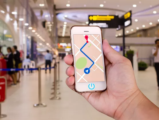
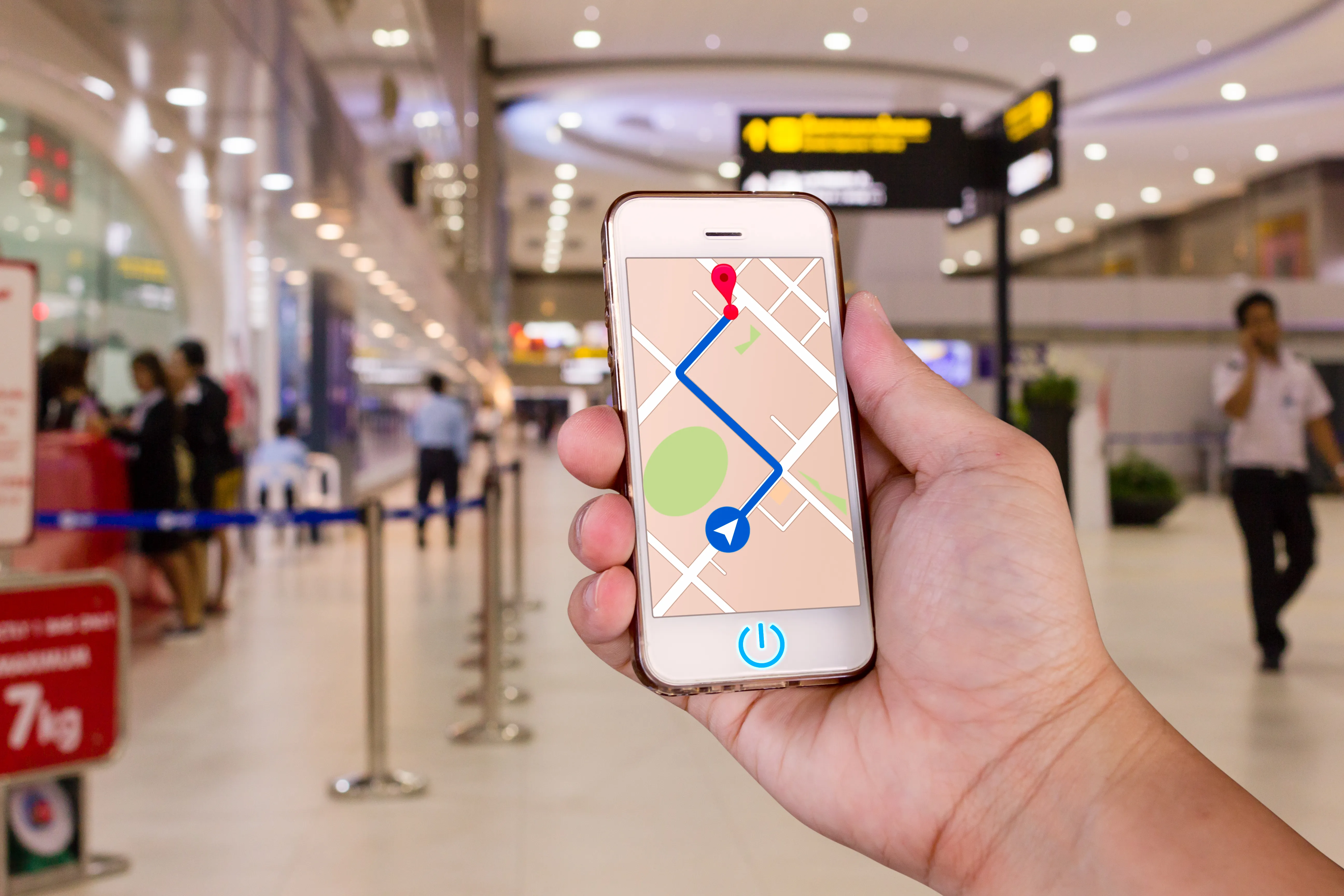
Tracking and localization technologies typically integrate with Wi-Fi and Bluetooth signals to pinpoint the location of people and objects. But what if a venue can’t install beacons or routers, or afford to deploy Wi-Fi or Bluetooth networks? Thanks to a combination of proprietary algorithms, advanced sensor fusion and the natural geomagnetic field, GipStech, a spin-off of Università della Calabria, built an indoor localization and navigation technology platform for accurate localization in the absence of an adequate GPS signal.Ahead of the SEMI MEMS Imaging Sensors Summit, 25 to 27 September 2019 in Grenoble France, Serena Brischetto of SEMI spoke with Gaetano D'Aquila, co-founder and CEO of GiPStech, about sensor fusion, augmented GPS applications and the future of indoor localization. Join us in Grenoble to learn more about GiPStech and meet other MEMS, imaging and sensors experts. Registration is open online.SEMI: Early this year GiPStech completed a test deployment of the first high-precision, infrastructure-free navigation system at Tokyo Shinjuku metro station in Japan. This is the busiest transportation hub globally! What were the main challenges you faced and how did your technology enable such a highly complex indoor localization?D'Aquila: As you mentioned, Shinjuku station in Tokyo has been registered in Guinness World Records as the busiest transportation hub globally. With 36 platforms, 200 exits and countless corridors and connections, it is easy to get lost there, especially for foreigners and tourists. On the other hand, this scale and complexity makes it unfeasible and expensive to install Bluetooth or similar infrastructure for standard indoor localization.For this reason, we needed to provide a cost-effective indoor localization technology without installing any kind of artificial supporting infrastructure. Thanks to our GiPStech patented multi-sensor-fusion localization stack and the high density of public Wi-FI networks, it’s possible to determine when passengers are inside the station. The public Wi-Fi networks signals were fused as an additional source in GiPStech's sensor-fusion platform to complement the inertial and geomagnetic engine and deliver very accurate results across the entire station. The tests performed in the station also demonstrated that the localization system can even detect the floors where travelers are walking. Now we are ready to roll out the same setup in other stations and environments.SEMI: You are not the first to pursue infrastructure-free indoor localization, but your technology platform seems to be very accurate in bringing precision, stability and consistency to the user experience. What lead to those advancements and incredible results?D'Aquila: Our key differentiating factors are built in the approach we created after years of research and development. One differentiation, of course, is related to our expertise and know-how about how the geomagnetic field can be used as a driving signal for the localization process.During R D we constructed and patented a modular multi-sensor-fusion software stack to solve any kind of localization problem, mainly in indoor environments. We started from a single-signal approach based on the employment of the geomagnetic field as a localization signal. But, mainly due to the very inaccurate devices chosen to measure the geomagnetic field, such as the smartphones that everyone carries in their pockets, we noticed that this single-signal approach is accurate but not reliable because it is strongly affected by a key weakness – the quality of sensor in the device.SEMI: How long did it take for you to solve this issue?D'Aquila: We started to integrate other signals within a few months after the first field tests related to the employment of the geomagnetic field alone. We also began to develop a software platform that could fuse any signal source (natural or artificial) available in the environment to preserve the reliability and accuracy of the localization system when some of these signals are temporarily affected by poor measurement quality. This is our differentiating factor today. We can re-configure our software platform to provide the best reliability and accuracy with the lowest artificial infrastructure in almost any context – from outdoor in a seamless way to indoor and vice versa.SEMI: GiPStech’s inertial engine is one of your cutting-edge technologies that completes your advanced indoor navigation and localization software stack. How do you see the technology evolving?D'Aquila: The inertial engine was one of our first technology modules mainly developed to enhance reliability, smooth the signals and reduce the computational power requirement of our geomagnetic localization approach.After a while, together with a third party that evaluated the performances of our module, we noticed that this module not only can be used as a self-standing localization technique, but it can also deliver high accuracy mainly in PDR (pedestrian dead reckoning) applications.Today our PDR is itself a black box with embedded subsystems. Besides some filtering modules, it includes a state-of-the-art step detector that detect steps even when the person changes the smartphone position and location (not only in the hands but also in backpacks or pockets) and an advanced step validation module that identifies and rejects fake steps.If you’ve ever used a commercial fitness tracker attached to your wrist, you know that in most cases if you move your arm the device will counts some steps that, of course, are not real. Our step validator solves this problem by detecting only real steps – a very important capability that allows our PDR to be employed as a self-standing inertial navigation system. We developed the PDR with strong attention to maintaining low requirements for the computational power and memory footprint. These additional characteristics makes the PDR very interesting even for a direct integration of the software at the silicon level in modern MEMS sensors.In a nutshell, the ability of MEMS sensors to run directly an embedded software module will drive technology enhancements that will allow some of the functionalities now available through an external application processor, such as those in smartphones, to move to a lower level (in the silicon). This, of course, reduces power consumption while even increasing the number of value-added services, including localization services, that could be built directly on top of the MEMS without requiring external software and/or application processor.SEMI: Do you think indoor localization will be more applicable in the next 10 years in areas such as Smart manufacturing, travel, healthcare, entertainment and retail?D'Aquila: Several market reports and our business development experience lead us to assess which sectors are of greatest interest for the application of indoor positioning technologies. They include the following. Industry (manufacturing logistics) Healthcare (tracking of assets, patients and doctors) Big installations (visit experience for museums, fairs) Airports stations (both for travelers and for resource and operation management) Large distribution (user profiling and influencing of the purchasing behavior) Indoor localization is a key enabling technology. Adoption, mainly in these sectors, was limited by the unfavorable tradeoff between cost and benefits. Our indoor localization technology aims to overcome those tradeoffs to make its adoption much more cost-effective while providing the best possible reliability and accuracy.SEMI: What are your expectations regarding the summit in Grenoble, and for the future of the sensors technology ahead? Where are we heading?D'Aquila: Many sectors would benefit from indoor localization technologies. MEMS, imaging and sensors are driving innovation and explosive demand for transportation, medical, mobile, industrial and other IoT applications. But these devices also constitute the basic building blocks for the development of reliable and affordable localization technologies.In outdoor environments we are pretty covered by the GPS. Indoors, where we spend more than of 80 percent of our time, similar types of services are coming to the market now and becoming more reliable over time.This Summit facilitates the direct interaction between different stakeholders to act at different points in the MEMS sensors value chain. Indoor localization was an emerging technology unrelated to the sensors ecosystem until now. Today, indoor localization must leverage MEMS sensors to be effective and reliable. In the future, localization technologies will be embedded directly in silicon to deliver the best performance at a lower cost to increase their adoption for more applications.Gaetano D'Aquila served as research fellow from 2002 to 2004 at the CNR and as an assistant teacher at the University of Calabria. From 2003 to 2014, he worked in the industry first as a security consultant for Telcos and Banking in Value Team S.p.A. and then as project manager at Infomobility S.p.A., where he coordinated research and development and strategic activities in the automotive and auto insurance industries. In 2014 he co-founded GiPStech and is its current CEO. He has published several papers in scientific journals and has filed for seven patents, three of which have been granted in the U.S. and Europe. Gaetano has a MSc in Computer Engineering and a Ph.D. in Science and Engineering of the Environment, Buildings and Energy from the University of Calabria, Italy.Serena Brischetto is a marketing and communications manager at SEMI Europe.